A Collaborative Process
Partnership and Engagement
This vision plan was developed through a collaborative, iterative process. From concept through development, the process involved local community and government with a goal to support local decision-making as well as promote equity in investments and community benefits.
First envisioned between the nonprofit North East Trees and the San Gabriel and Lower Los Angeles Rivers and Mountains Conservancy (RMC), there was recognition that regional plans addressed greening for the LA River, San Gabriel River, and Emerald Necklace, but not the areas in-between. Southeast Los Angeles and the wider Gateway Cities region are served by many different jurisdictions, and greening along the lower rivers and across these parts of the river watersheds can have profound impacts on the waterways, connections between the waterways, and all the people that live here. However, the region has not historically received levels of attention and funding in proportion to the region’s size and populations.
Together with the Gateway Cities Council of Governments (Gateway COG), North East Trees and the RMC proposed a greening plan funded by the California Strategic Growth Council through the Watershed Conservation Authority (WCA). The WCA working with the Gateway COG collected inventory and invited a Stakeholder Group made up of local agencies and community organizations to assist in developing a vision plan framework, methods, and content. Rather than being static and prescriptive, the plan would leverage a web presence and digital elements to share information, strategies, spatial data, and analyses that could be updated to support cities and community leaders in setting their own greening priorities with the support of a comprehensive format.
Community Outreach
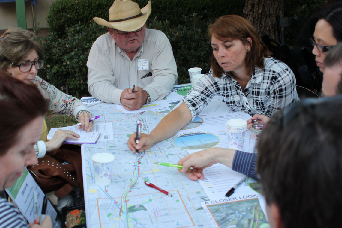
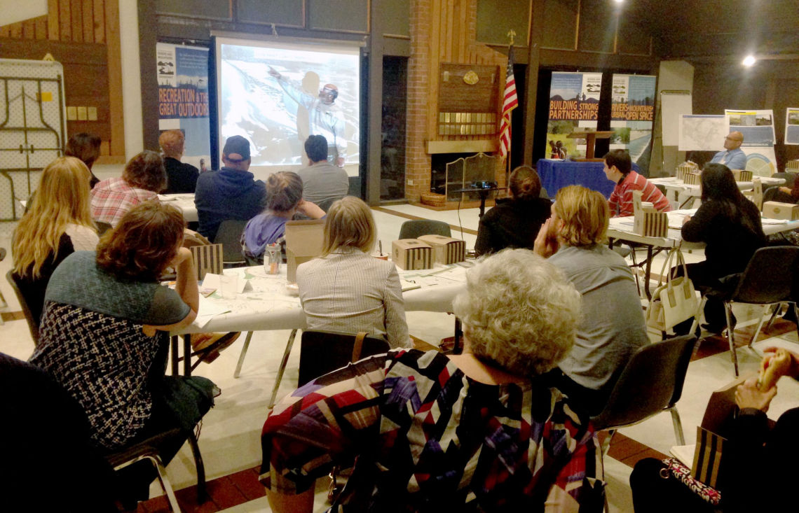
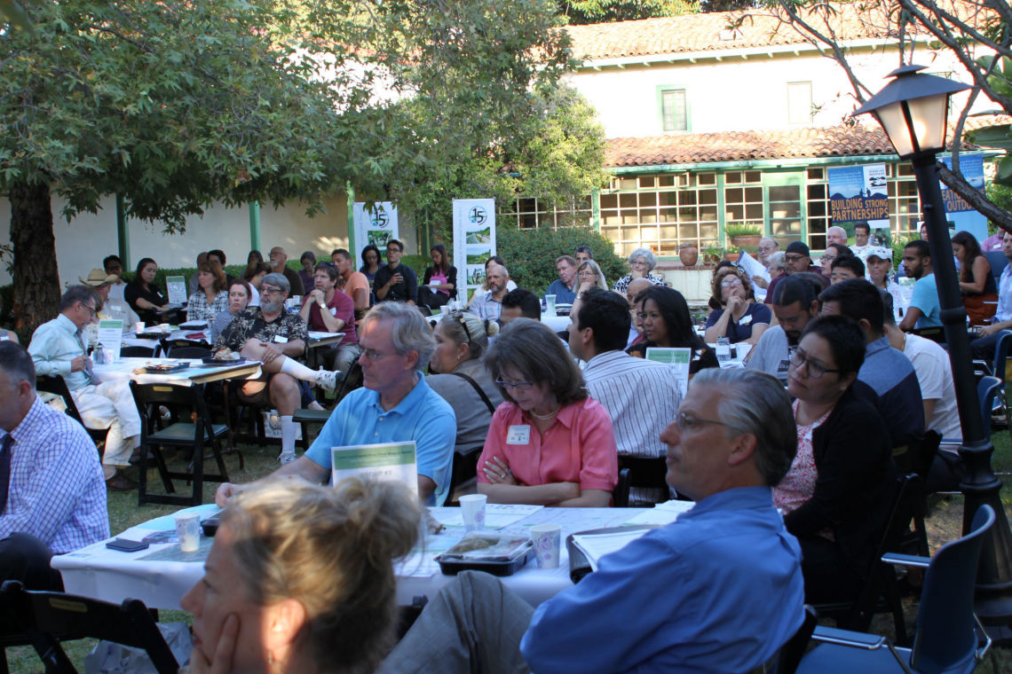
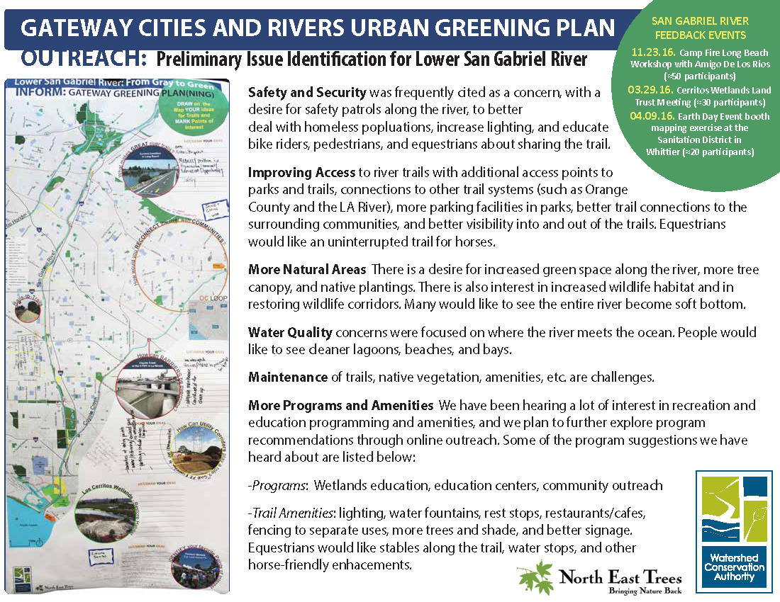
The WCA hosted events specific to the LA and San Gabriel River areas to collect information through map exercises and structured questions. Feedback was also collected through presentations to the Gateway Cities COG committees, the Gateway Water Management Authority, individual city representatives, and local community groups such as the Los Cerritos Wetlands Land Trust. Additionally, feedback was collected through map activities and surveys in Spanish and English collected through participation in local meetings and events across the Gateway Cities including the Lower LA River Master Plan update, and special seasonal events such as group bike rides and Earth Day celebrations.
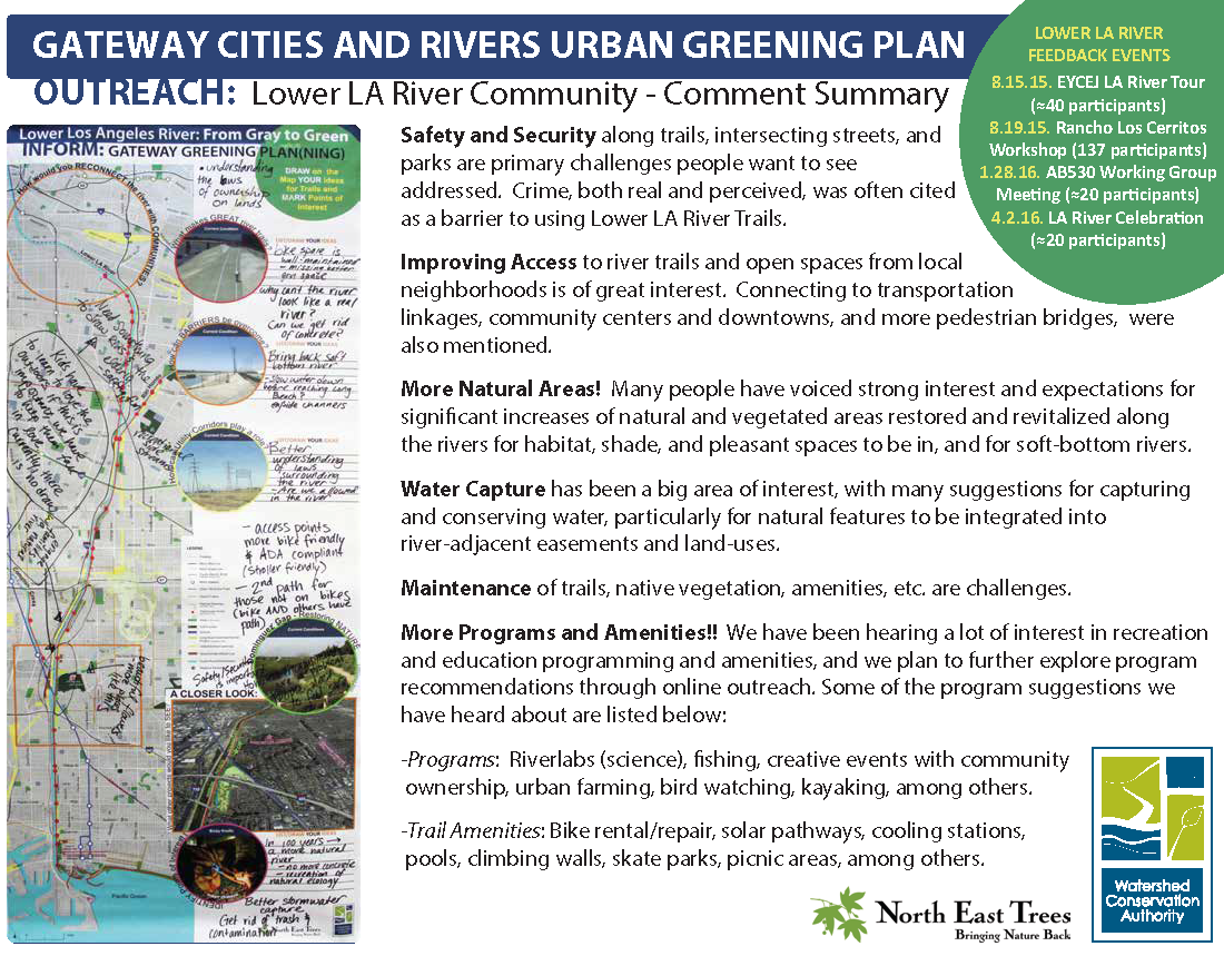
Common themes heard through outreach consistently included safety and security, improving access, more natural areas with plants, trees, and wildlife, and for additional programming and amenities including education and recreational access, as well as facilities such as lighting and restrooms. There is strong interest in safe facilities to support active transportation which is an ongoing priority for Gateway Cities local governments, and for more access to nature and outdoor resources. As the majority of the basin is highly developed, a foundation for the vision plan is the recognition that traditional large-scale projects and park space improvements alone cannot meet all of the demand and needs. Concepts and approaches are key to the vision plan together with a suite of strategies and recommendations for nature-based solutions and creative greening opportunities at all scales.
"I think our green spaces should work for us, creating food, shade, social and recreational opportunities and energy."
—Public Comment
______________________________________
Mapping Exercise Summaries
comments lar
comments sgr
Made with ❤️ by TreeStack.io

