Infrastructure Moving From Grey to Green
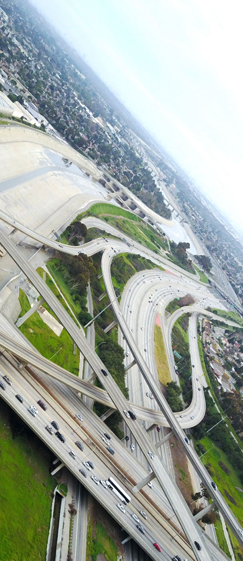
Ironically, storm drains we build to prevent flooding actually accelerate the speed of flowing water and exacerbate potential flood conditions. Storm drains increase the water pollution because oil from roads and other debris flow into the drains and then to the sea. Blake Gumprecht describes the relationship between flooding and covering the earth with buildings and pavement. Because of paving, and the construction of storm drains, “One inch of precipitation during the period 1966-79 was found to have produced an average of 58 percent more runoff in the Los Angeles River than it had during the period 1949-65.”
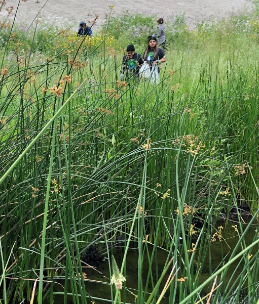
A number of emerging activists and environmental groups have been suggesting ways to bring life back into our streams and rivers. Joe Linton advocates holistic methods like revegetation as a solution, “generally in conjunction with some reinforcement of levees. Working with nature can be more expensive in the short run, but it is ultimately more sustainable, while yielding more public and environmental benefits.”
Visionary Melanie Winter, advocates “Nature Based Solutions.” [Nature Based Solutions clean water, recharge aquifers, and prevent flooding, but instead of using pipes and large engineered facilities, they use soil and plants as their main technology.] “While technological innovation and modernization of our infrastructure are critical to our ability to adapt and thrive, regenerative nature-based solutions are accessible to everyone, can be implemented quickly, and deliver the most bang for the buck.”
“If even half of the County's single-family properties adopt these simple, cost-effective nature-based solutions over the coming decades,” Winter states, “we will significantly increase our local water supplies and reliability, improve water and air quality, mitigate local flood risk, reduce heat impacts, enhance our biodiverse habitats, and sequester nearly a billion tons of carbon each year.”
The efforts to implement both Green Infrastructure and Nature Based Solutions by groups like Watershed Conservation Authority, The River Project, Northeast Trees, Friends of the Los Angeles River, and Amigos de los Rios can begin to transform the health of our watershed and our future ecology. Most importantly, Melanie Winter also states that these efforts promote something many overlook: beauty. “Never underestimate,” she says, “the power of beauty in turbulent times.”
This website focuses on how urban landscapes and even urban streets and yards can be re-envisioned as extensions of the river that they once were. If we allow nature back into urban landscapes, - even all the everyday landscapes we live in (schools, parking lots, streets, yards), the rivers might start to live again.
In 2003, Lewis MacAdams told me, “One of these days the southernmost steel head run will return to the Los Angeles River, and as the trout start their journey upstream they'll nod to their left to the Queen Mary (the toothpick in the mouth of the river) and to their right to the Long Beach citizens recreating in Cesar Chavez Park and set their sights north towards the San Gabriels, and as they pass beneath the Sunnynook Footbridge in Atwater I or my ghost and I will be leaning over the railing waving as they swim by."
The Gateway Cities have always been tied to the rivers, and will play a major part in the future of the rivers. There are many more uphill battles with these efforts, but there is too much at stake and so much to gain to not find ways to let Nature help transform our cities. To use the words of Victor Valle, [1] the San Gabriel River and surrounding cities “remains an unfinished text, a landscape upon which new meanings may yet to be inscribed.” Undoubtedly, a critical location in these future efforts is the cluster of municipalities better known as the Gateway Cities.
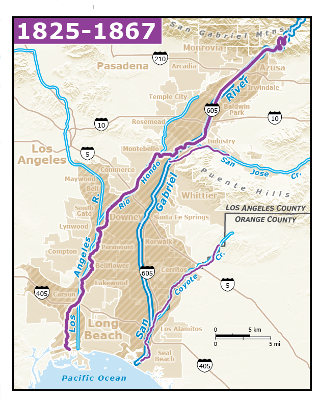
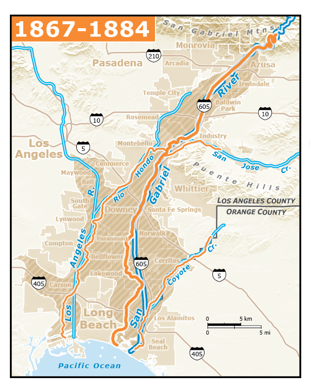
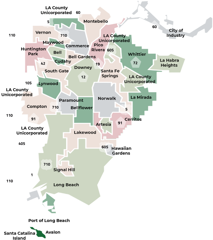 Gateway Cities Council of Governments
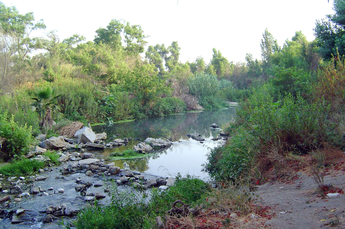
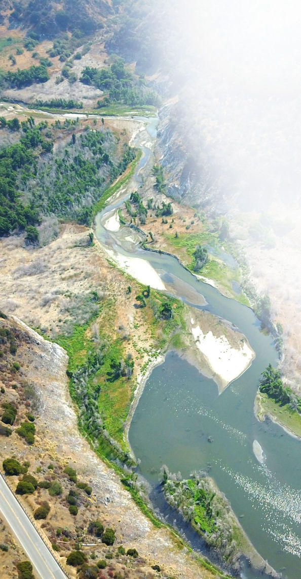
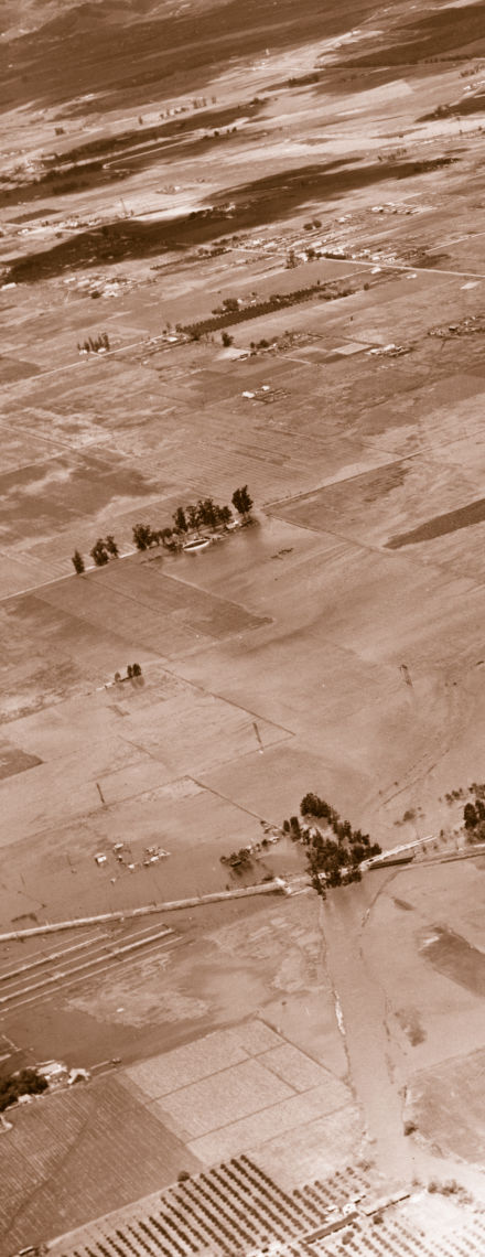
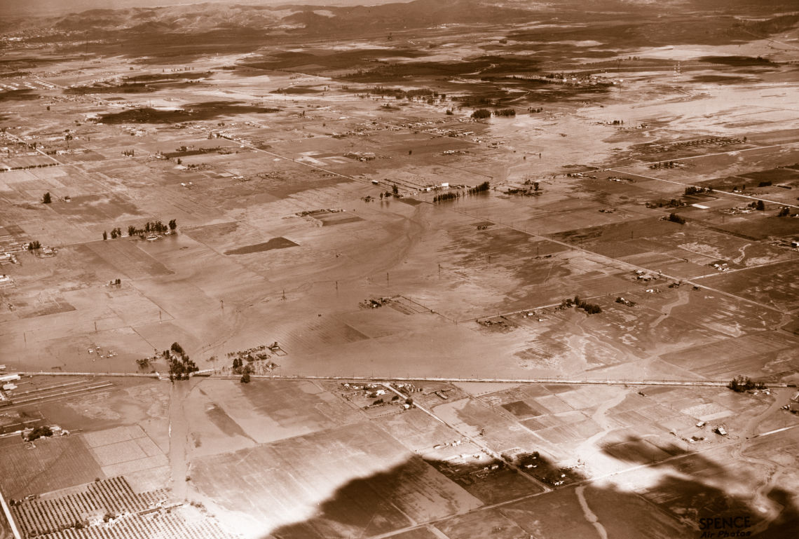 Courtesy Spence Collection, via the Historical Ecology of the San Gabriel River