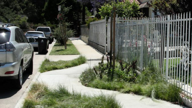
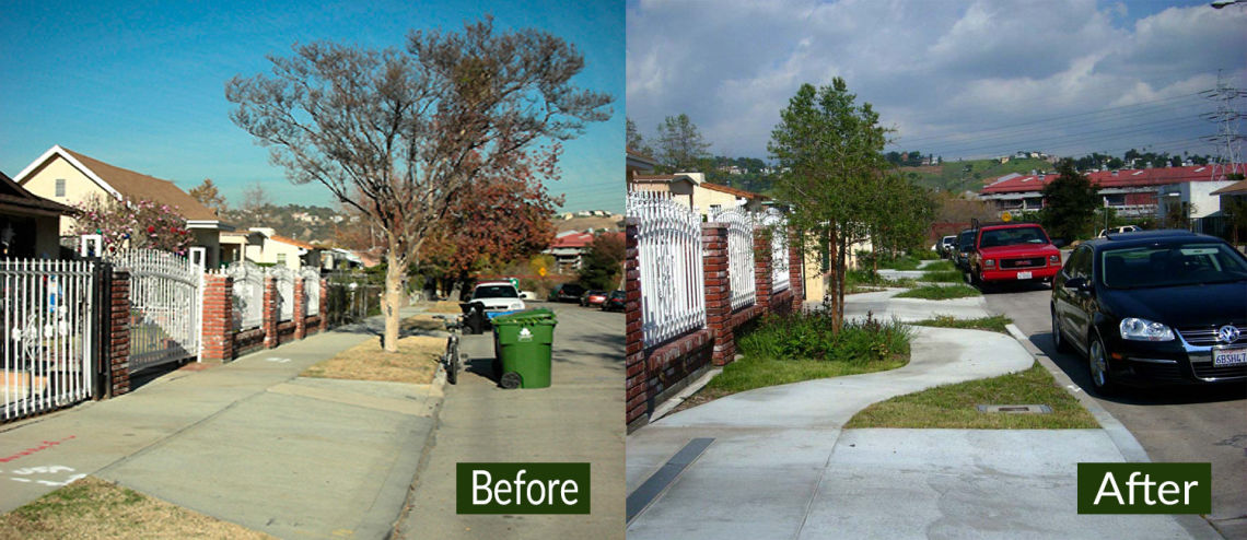
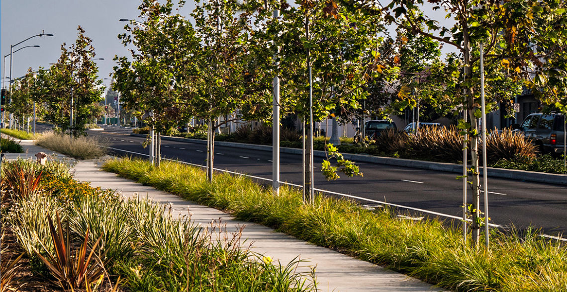
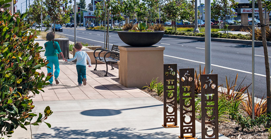
Living Streets
Gateway Cities Strategic Transportation Plan. Cambridge Systematics, Inc. (2016). Gateway Cities Council of Governments.
A cross-jurisdictional plan encompassing Gateway Cities on priority corridors and strategies to address transportation, active transportation, and water management.
_______
Living Streets: A Guide for Los Angeles. Heal the Bay et al. (2015).
Guidance and principles from leading experts on best strategies for planning, designing, and funding living street projects
_______
Model Design Manual for Living Streets. Ryan Snyder Associates and Transportation Planning for Livable Communities. (2011).Los Angeles County Department of Public Health and UCLA Luskin School of Public Affairs.
Guidance and principles from leading experts on best strategies for living street projects.
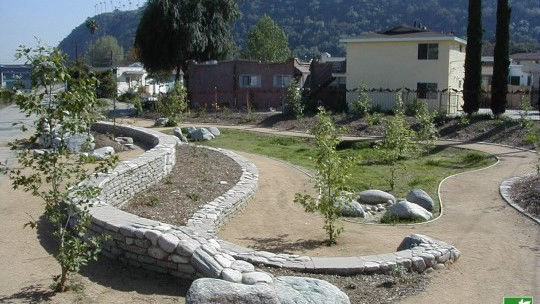
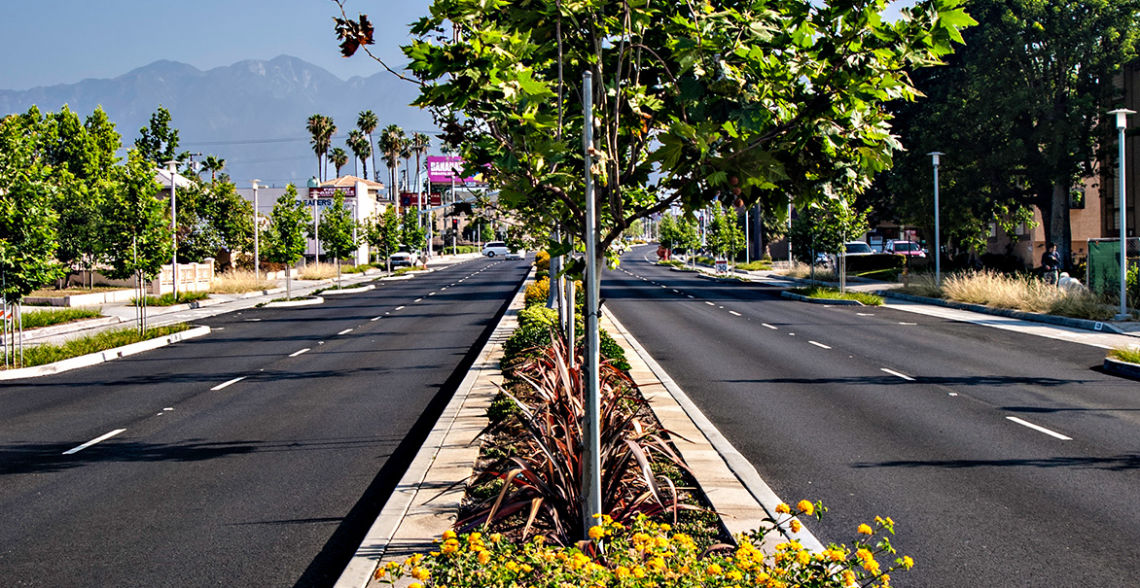
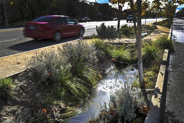
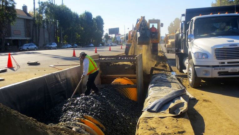
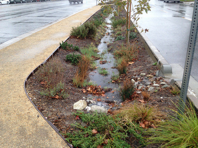
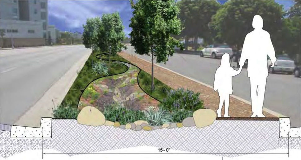
Green Streets
City of Portland Stormwater Management Manual. City of Portland Environmental Services. (2016).
Time-tested methods and strategies for water management with applications specific to streets.
_______
Rainwater Harvesting for Drylands and Beyond, Vol. 1, 2nd Edition: Guiding Principles to Welcome Rain to Your Life and Landscape. Lancaster, Brad. (2013). Tucson, AZ: Rainsource Press.
Rainwater Harvesting for Drylands and Beyond, Vol. 2, Water-Harvesting Earthworks. Lancaster, Brad. (2010). Tucson, AZ: Rainsource Press.
Resources for general principles of hydrology and grading relevant for street improvement projects, particularly distributed, nature-based projects.
_______
City of Mesa Low Impact Development Toolkit. Logan Simpson and Dibble Engineering. 2015. City of Mesa, AZ.
Methods and strategies for water management with applications for streets appropriate for climate similar to the Gateway Cities.
_______
Green Infrastructure for Desert Communities. Watershed Management Group. (2017).
Methods and strategies for water management with applications for streets appropriate for climate similar to the Gateway Cities.
_______
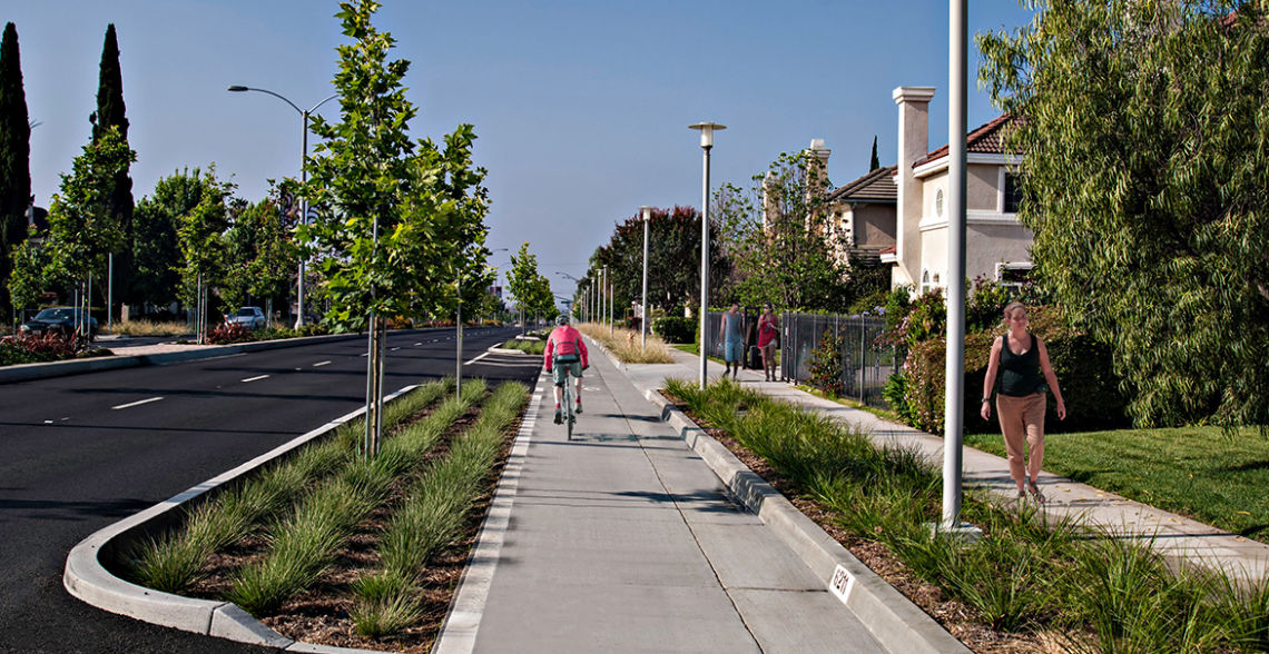
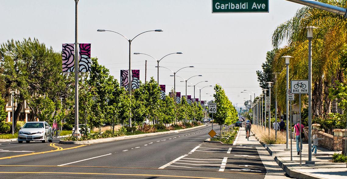
Complete Streets
City of Temple City Bicycle Master Plan. Alta Planning + Design. (2011). City of Temple City.
Example of planning facilities to prioritize bike riding as a safe and reliable mode of transportation.
_______
County of Los Angeles Bicycle Master Plan. Alta Planning + Design, Leslie Scott Consulting, and KOA Corporation. (2012). County of Los Angeles Department of Public Works.
Cross-jurisdictional plan for major bike corridors.
_______
Active Transportation Strategic Plan (ATSP). Los Angeles County Metropolitan Transportation Authority (Metro). (2016).
Update to the 2006 County of Los Angeles Bicycle Master Plan, the ATSP includes comprehensive cross-jurisdictional inventory of facilities, guidance, and priorities for biking, walking, and public transit.
_______
City of Long Beach Bicycle Master Plan. City of Long Beach Department of Development Services, City of Long Beach Department of Public Works, Alta Planning + Design, Here LA, and Sumire Gant Consulting. (2017).
Example of planning facilities to prioritize bike riding as a safe and reliable mode of transportation.